Marine Ecology Digest
Marine Ecology Digest: April 2026
April brought a useful correction to the ocean conversation. Protected area coverage passed 10%, but the harder test is whether those places are managed well enough to protect reefs, fish, seabirds, seagrass, mangroves and coastal livelihoods.
April In Brief
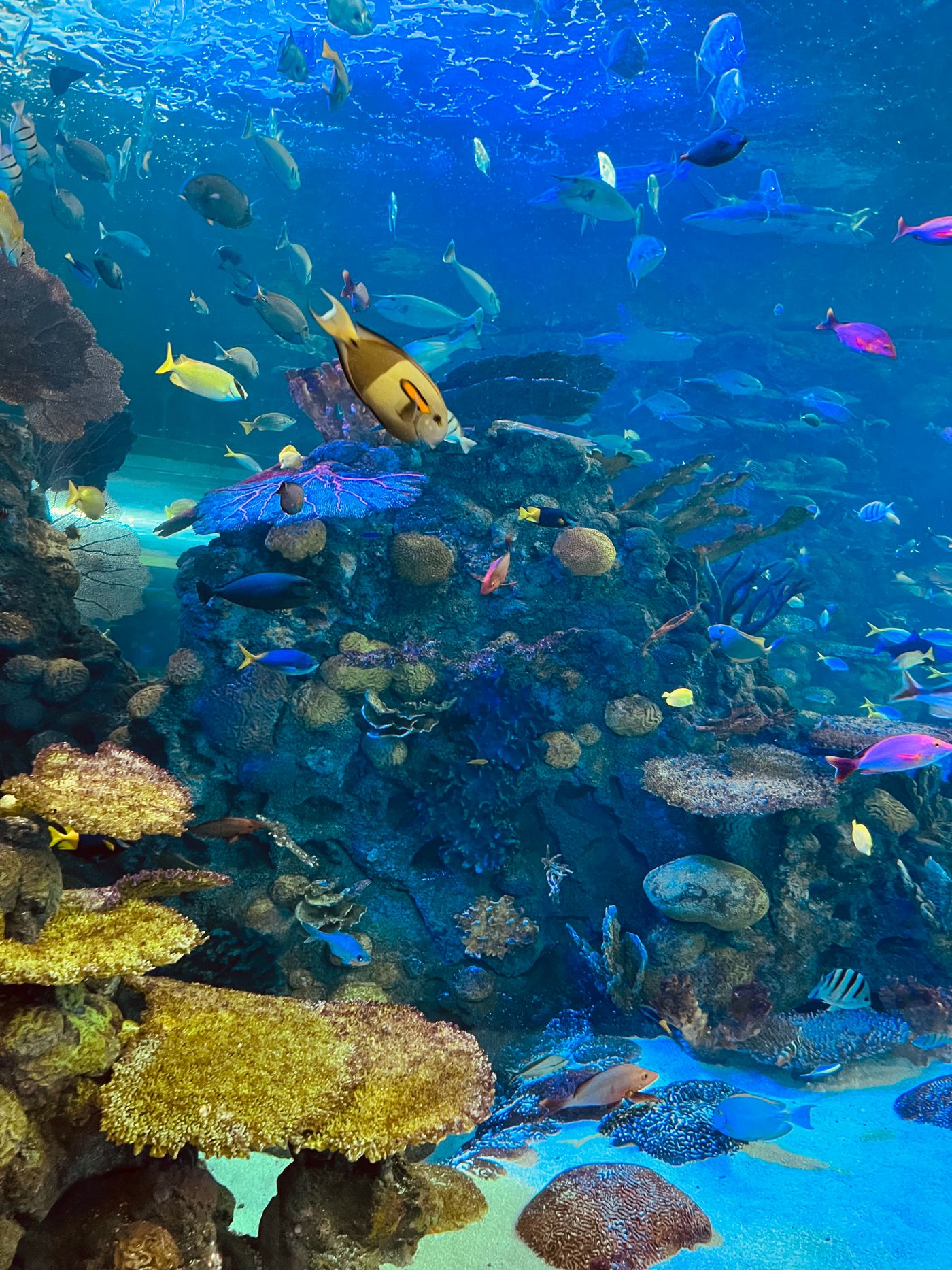
The headline was that 10.01% of the ocean is now officially designated within protected or conserved areas. The real story is more demanding: coverage still needs to triple by 2030, high seas protection remains thin, and many marine protected areas need better funding, monitoring, local participation and enforcement.
April 2026 was not short of ocean news, but one figure carried most of the month’s weight. On 1 April, the world crossed the 10% mark for officially protected and conserved ocean areas. For anyone who has spent years arguing that marine protection should be treated as basic infrastructure for life at sea, the number mattered. It was also slightly uncomfortable. The global target is 30% by 2030, so the milestone was both progress and a reminder of lost time.
The strongest reading of the month is this: marine ecology is moving from promises about protected area extent to evidence about ecological function. A boundary on a map can be useful, but fish biomass, coral recruitment, seabed disturbance, water quality, local compliance and community trust are the measures that decide whether protection holds in practice.
The Ocean Protection Milestone Was Real, But Not Enough
IUCN and UNEP-WCMC reported that 10.01% of the global ocean is now within protected and conserved areas. They also noted that roughly 5 million square kilometres of ocean had been added since 2024, an area larger than the European Union. That is a serious gain in two years.
The catch is geography. Most new protection has been in national waters. The high seas, which cover more than 60% of the ocean surface and a huge share of the planet’s living space by volume, remain lightly covered. IUCN put protected and conserved area coverage beyond national jurisdiction at just 1.66%. For migratory species, deep-sea habitats and open-ocean food webs, that gap cannot be treated as a footnote.
The High Seas Treaty, which entered into force in January 2026, gives governments a route to create marine protected areas in waters beyond national jurisdiction. April’s figures make the next job clearer: countries now need to turn the treaty from legal machinery into ecological decisions. That means identifying areas with strong biodiversity value, agreeing management rules, and putting in place monitoring systems that can work far from shore.
Marine Protected Areas Need Climate Tests, Not Just Maps
On 9 April, UNESCO’s Intergovernmental Oceanographic Commission convened the first advisory board meeting for a project on climate vulnerability assessment in marine protected areas. The project is developing practical guidelines that can help managers ask a sharper question: protected from what, and under which climate future?
This matters because older MPA plans often assume that habitats will stay broadly where they are. That assumption is failing. Species are shifting range, marine heatwaves are altering reefs and kelp forests, storms are changing sediment patterns, and coastal communities are facing sea-level rise alongside fisheries pressure and tourism demand.
A climate-aware MPA plan should not only list habitats. It should ask which habitats are most exposed, which species have room to move, where local stressors can be reduced, and how Indigenous and local knowledge can guide management choices. A small team managing a coastal reserve does not need a thousand-page assessment. It needs a usable method for setting priorities before damage becomes permanent.
Marine Debris Monitoring Moved Into The Details
NOAA’s April Marine Debris Program update drew attention to its refreshed Marine Debris Monitoring and Assessment Project toolbox, including guides, field datasheets, video tutorials and database visualisation tools. This is less dramatic than a new treaty, but it is the kind of work that makes clean-up claims testable.
Marine debris is an ecological pressure because it injures wildlife, transports invasive species, smothers habitats and breaks into smaller fragments that become harder to recover. It is also a measurement problem. If teams use different methods, count different items or report in incompatible formats, it becomes difficult to compare trends or defend funding decisions.
The lesson for coastal groups is not to wait for perfect data. A repeatable transect, a careful log of debris types and a clear record of location and weather conditions are often enough to make local decisions stronger. Over time, those records show whether a beach clean is treating a symptom or whether upstream waste controls are beginning to work.
The Ecology Signal Beneath The Policy News
The common thread across April was management credibility. Conservation is no longer only about setting targets. The work is moving towards evidence that a place is recovering, resisting damage or at least losing ground more slowly because people changed what happens there.
That evidence will look different by habitat. On a coral reef, it may include bleaching impact, live coral cover, herbivore abundance and recruitment. In a seagrass bed, it may include shoot density, sediment quality and water clarity. In a mangrove system, it may include canopy health, nursery function and shoreline stability. For seabirds, it may mean nesting success, prey availability and disturbance controls.
The best protected area plans now join these measures to human realities. Fishers, tourism operators, port authorities, Indigenous communities and local councils are not outside the system. They are part of whether a rule is respected, ignored or redesigned.
What To Watch After April
Three questions should follow this month’s news. First, will governments use the High Seas Treaty quickly enough to protect ecologically important areas beyond national waters? Second, will the 30% target reward management quality as well as area coverage? Third, will climate vulnerability become part of normal MPA practice rather than a specialist add-on?
For Cleaner Seas readers, the commercial angle is also clear. Environmental consultants, monitoring technology firms, data platforms, fisheries advisers and coastal restoration teams should expect more demand for proof. The market will not only need people who can design protected areas. It will need people who can show whether they are working.
Frequently Asked Questions
What was the main marine ecology development in April 2026?
The main development was the announcement that 10.01% of the ocean is now officially protected or conserved. It was an important step, but still leaves a large gap against the 30% by 2030 target.
Why is high seas protection important?
The high seas contain major migratory routes, deep-sea habitats and open-ocean ecosystems, yet protected area coverage remains low. Better protection beyond national waters is needed for biodiversity that does not stay inside one country’s jurisdiction.
What should MPA managers prioritise now?
Managers should combine ecological monitoring, climate vulnerability assessment, enforcement planning, community engagement and long-term funding. More area is useful only if protection changes outcomes.
Sources And Further Reading
Turn Marine Ecology Updates Into Client-Ready Insight
Cleaner Seas can help conservation teams, ports, marine suppliers and coastal organisations turn monthly ocean developments into articles, briefings and practical stakeholder updates.