Marine technology
Sea Drones And Their Use: What They Do, Where They Help, And Where People Still Matter
Sea drones are becoming normal working tools for survey teams, ports, scientists, offshore operators, environmental responders and naval planners. Their value is simple: they put cameras, sensors and sampling equipment in places that are hard, slow, costly or risky for people to reach.
Short Answer
Sea drones are uncrewed systems that operate on the water, under the water or above the water as part of marine work. They are used for seabed mapping, hull inspection, port security, environmental monitoring, offshore energy checks, ocean science, search and rescue support, aquaculture, defence and autonomous shipping trials. They do not remove the need for skilled people, but they can collect better evidence and reduce exposure to dangerous or repetitive work.
Sea work has always been expensive because the sea does not make access easy. A short inspection can need a vessel, crew, permits, weather windows and specialist equipment. A harbour wall may sit below dark water. A pollution incident may change shape with the tide before a response team has the full picture.
That is why sea drones have moved from interesting gadgets to practical maritime tools. They can go out before a diver, repeat the same survey line and bring back images, sonar, samples or sensor readings. The best ones are not magic. They are simply useful machines doing specific jobs.
The phrase sea drone covers several kinds of equipment. Some look like small boats. Some look like torpedoes. Some are boxy underwater robots with lights, cameras and thrusters. What links them is not their shape, but their role: they extend human reach at sea.

What Counts As A Sea Drone?
Uncrewed surface vessels, often called USVs, operate on top of the water. They may be remote controlled, pre-programmed or partly autonomous. Small USVs are used in harbours, lakes and sheltered coastal areas. Larger models can travel offshore and carry weather, oceanographic or surveillance sensors.
Autonomous underwater vehicles, or AUVs, work below the surface without a tether. They are usually launched, given a mission and recovered later. AUVs are useful for seabed survey, pipeline routes, subsea cable corridors, environmental data and naval mine countermeasure work.
Remotely operated vehicles, or ROVs, are underwater robots controlled through a cable. The tether gives power, communications and control, which makes ROVs valuable for detailed inspection. They are common in offshore energy, aquaculture, salvage, research and vessel maintenance.
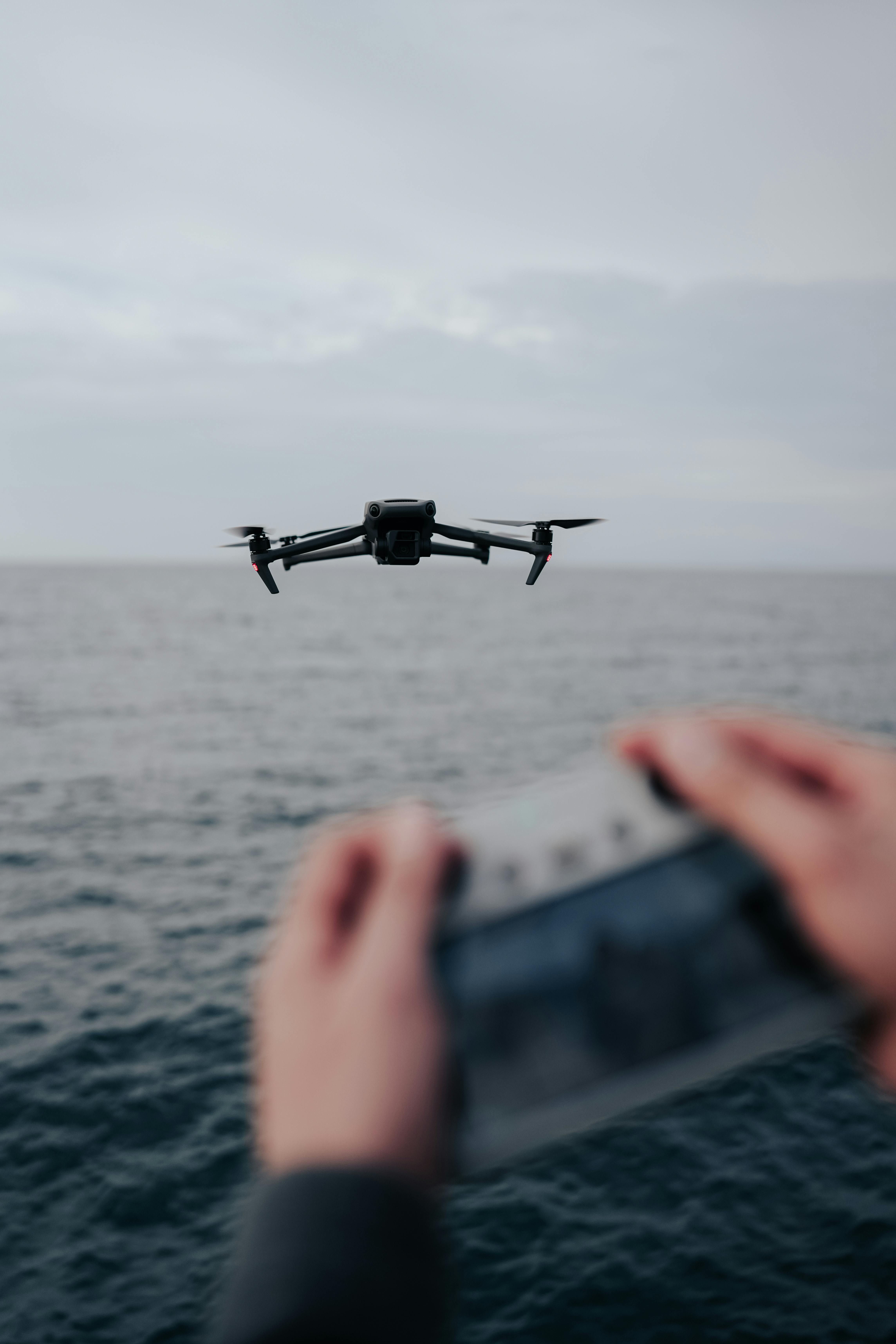
Aerial drones are not sea vessels, but they have become part of marine operations. They can inspect superstructures, photograph coastal erosion, search for people in the water, check spill movement or give a harbour team a quick overhead view.
For a buyer, the category matters less than the question being asked. A port checking a quay wall may need a compact ROV. A science team studying ocean conditions may need a long-range USV. An offshore wind operator may need several systems working together.
Sea Drone Types At A Glance
Most marine drone work sits across three operating zones: above the water, on the surface and below the surface. The right choice depends on access, endurance, sensor needs and how close the operator must stay to the vehicle.
Aerial drones
Fast overhead checks for coastlines, vessels, spills, search support and port awareness.
USVs
Surface craft for survey lines, sampling, patrols and long-duration ocean monitoring.
AUVs
Untethered underwater systems for seabed mapping, routes, cables and wide-area missions.
ROVs
Tethered underwater robots for close inspection, live control and detailed asset checks.
How Sea Drones Are Used Today
Ocean science and climate monitoring. Long-endurance sea drones can collect data from places where research ships are costly to send. They can measure temperature, salinity, waves, wind, acidity, currents and marine life indicators. Better data helps scientists understand storms, changing habitats, fish movement and climate patterns.
Seabed mapping and hydrographic survey. Ports, offshore developers, cable companies and coastal authorities need to know what lies beneath the surface. USVs and AUVs can carry sonar and positioning systems to map depths, wrecks, obstructions, slopes and channels. This helps with dredging plans, safe navigation, cable routing and marine construction.
Survey drones are especially useful for repeat work. If a harbour surveys the same area after storms, dredging or heavy traffic, it can compare changes instead of relying on guesswork.
High
Med
Case
Hull, harbour and infrastructure inspection. This is one of the clearest commercial uses. ROVs and small surface systems can inspect hulls, propellers, rudders, intakes, moorings, pontoons, bridge supports, quay walls and wind turbine foundations. They can gather video before a diver enters the water, or in some cases remove the need for a diver at all.
The practical benefit is not only safety. It is also timing. A vessel owner may want to check suspected fouling or damage without waiting for dry dock. A sea drone gives the team something to look at, discuss and act on.
Pollution and environmental response. Sea drones can help during oil spills, sewage incidents, chemical releases and suspected illegal discharges. Aerial drones show the surface spread. Surface drones can follow the slick or carry water sampling equipment. Underwater vehicles can inspect affected habitats or structures.
They also support slower environmental work. Around ports and estuaries, drones can help track water quality, sediment movement, plastics and algal blooms.
Search, rescue and emergency support. Sea drones do not replace lifeboats, coastguards or trained crews. They can, however, provide information while those teams respond. An aerial drone can scan an area quickly. A surface drone can carry a camera, light, loudspeaker or flotation aid.
In an emergency, the most useful thing is often a faster answer. Where is the casualty? Which way are they drifting? Is fuel leaking? Can a rescue craft approach safely? Drones help when they shorten the time between uncertainty and action.
Port security and maritime domain awareness. Ports have many moving parts: vessels, ferries, tugs, terminals, restricted areas and small craft. Sea drones can support patrols, perimeter checks, berth monitoring and incident assessment. They are not a complete security answer, but they can widen the view.
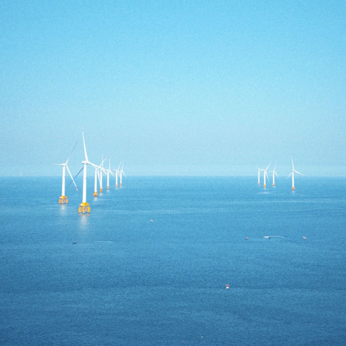
Offshore energy. Oil and gas assets, wind farms and subsea power infrastructure all need regular inspection. Sea drones can check foundations, scour, cables, pipelines, risers and mooring systems. They will not remove specialist vessels, but they can help operators plan them better.
Defence and mine countermeasure work. Naval interest is strong because uncrewed systems can operate in places where sending a crewed vessel is risky. They can search, map, listen, inspect, patrol or identify mines.
Aquaculture and fisheries. Fish farms use small underwater systems to check nets, moorings, fish behaviour and possible damage after storms. Fisheries teams can use drones to observe activity, support habitat surveys and monitor protected areas. The work is often quiet rather than dramatic, but it can prevent losses and improve day-to-day management.
What Sea Drones Still Struggle With
Sea drones have limits, and anyone buying or commissioning them should be honest about that. Weather can stop a mission. Batteries run down. Thrusters foul. Sensors drift. Cameras become useless in turbid water. Communications can fail. Underwater navigation is hard because GPS does not work below the surface.
Autonomy also has boundaries. A drone can follow a plan, hold position, avoid some obstacles and react to known conditions. The sea still produces odd cases: fishing gear, floating timber, sudden squalls, glare, confused waves and equipment behaving badly. Human judgement remains part of the system.
There is also a data problem. Sea drones can collect hours of footage and large sensor files. That sounds helpful until nobody has time to review them. A good drone programme needs quality checks, reporting and a clear decision path.
Permissions can be awkward too. A harbour authority, landowner, regulator, port security team or client may need to approve the mission. A drone working near shipping lanes, critical infrastructure, wildlife areas or private facilities can raise questions about safety, privacy and responsibility. These are not reasons to avoid the technology, but they should be planned before launch day.
How To Choose The Right Sea Drone For A Job
Start with the decision, not the device. What will change after the mission? Will a repair be booked, a route approved, a pollution response started, a berth reopened, a client report issued or a vessel cleared for service?
Then define the operating area. Depth, current, tide, wave height, water clarity, traffic, weather, launch access and recovery space all matter.
Next, choose the sensor package. A camera may be enough for a simple visual check. Sonar may be needed in dark or silty water. Water quality work may need calibrated instruments.
Finally, decide who will interpret the results. The operator may pilot the system well, but an engineer, surveyor, ecologist, harbour master or maintenance lead may still need to judge what the evidence means. Sea drones collect information. People still carry responsibility for decisions.
A Simple Sea Drone Mission Flow
- Define the question. Decide what the mission must prove, inspect, measure or rule out.
- Choose the platform. Match the job to an aerial drone, USV, AUV, ROV or mixed team.
- Plan the operation. Check weather, permissions, launch site, recovery plan, traffic and emergency steps.
- Collect the evidence. Capture video, sonar, samples or readings with location and time records.
- Turn data into action. Review the results, agree the decision and record the next step.
This last step is where many projects either become useful or fade into a folder of unused files. A clear report does not need to be long, but it should say what was checked, what was found, what confidence the team has in the data and what should happen next. That is what turns a drone mission into a maintenance decision, a safety action or a better environmental record.
Used well, sea drones make marine work a little less blind. They do not make the sea predictable, and they do not remove the need for seamanship, engineering knowledge or local experience. They simply give teams a better first look, a cleaner record and a safer way to ask difficult questions in difficult places.
Useful Reference Links
- NOAA Ocean Exploration: Uncrewed Surface Vessels – a clear explanation of USVs, including Saildrone examples and ocean data collection uses.
- NOAA Ocean Exploration: Autonomous Underwater Vehicles – background on AUVs, how they work and why they are used for underwater exploration and mapping.
- NOAA Ocean Exploration: How Robots Are Uncovering The Mysteries Of The Deep – useful context on ROVs, AUVs and deep-ocean robotics.
- International Maritime Organization: FAQ On Autonomous Shipping – official context on Maritime Autonomous Surface Ships and the MASS Code.
- The Ocean Cleanup: Researching Ocean Plastic – examples of drones, remote sensing and automated imagery being used to monitor marine pollution.
- The Ocean Cleanup: Drone-Assisted Navigation For Ocean Plastic Hotspots – a practical example of unmanned aerial drones supporting ocean operations.
Planning A Marine Technology Article Or Campaign?
Cleaner Seas can help turn maritime technology topics into clear, useful content for operators, suppliers and decision-makers. Strong articles connect the technology to a real problem, a buyer question and a practical next step.
Share your marine technology story or speak to Cleaner Seas about editorial support.
Sea Drone FAQs
Are sea drones the same as autonomous ships?
No. A small inspection ROV, a survey AUV and a long-endurance surface drone can all be described as sea drones. Autonomous ships usually refer to larger vessels where navigation, control or ship functions are automated, remotely managed or both.
What is the biggest benefit of sea drones?
The biggest benefit is access. Sea drones can collect useful information from places that are difficult, risky, dull or expensive for people and crewed vessels to reach.
Can sea drones replace divers?
Sometimes they can reduce the need for diving, especially for initial checks and routine visual inspections. They do not replace divers in every situation. Complex repair, recovery and close manual work may still need trained people in the water.
What should operators be careful about?
Operators should check weather limits, visibility, currents, permissions, insurance, collision risk, communications, data quality and who is responsible for acting on the findings.